Building date: Destroyed by fire 10/6/1904.
Original use: Barn
Corner structures:
Mortar application and content:
Types and uses of stones:
Types and choice of windows:
Structures with similar masonry details:
Masons who worked on building:
Unique features:
Map views courtesy Google Maps. Address is Google Earth confirmed; 43°03'11.31"N 76°59'34.94"W.
Town of Lyons and Wayne County 1978 Highway Maps
Elizabeth Dunn Barn complex history sheet. From the personal research of cobblestone historian Karen Crandall.
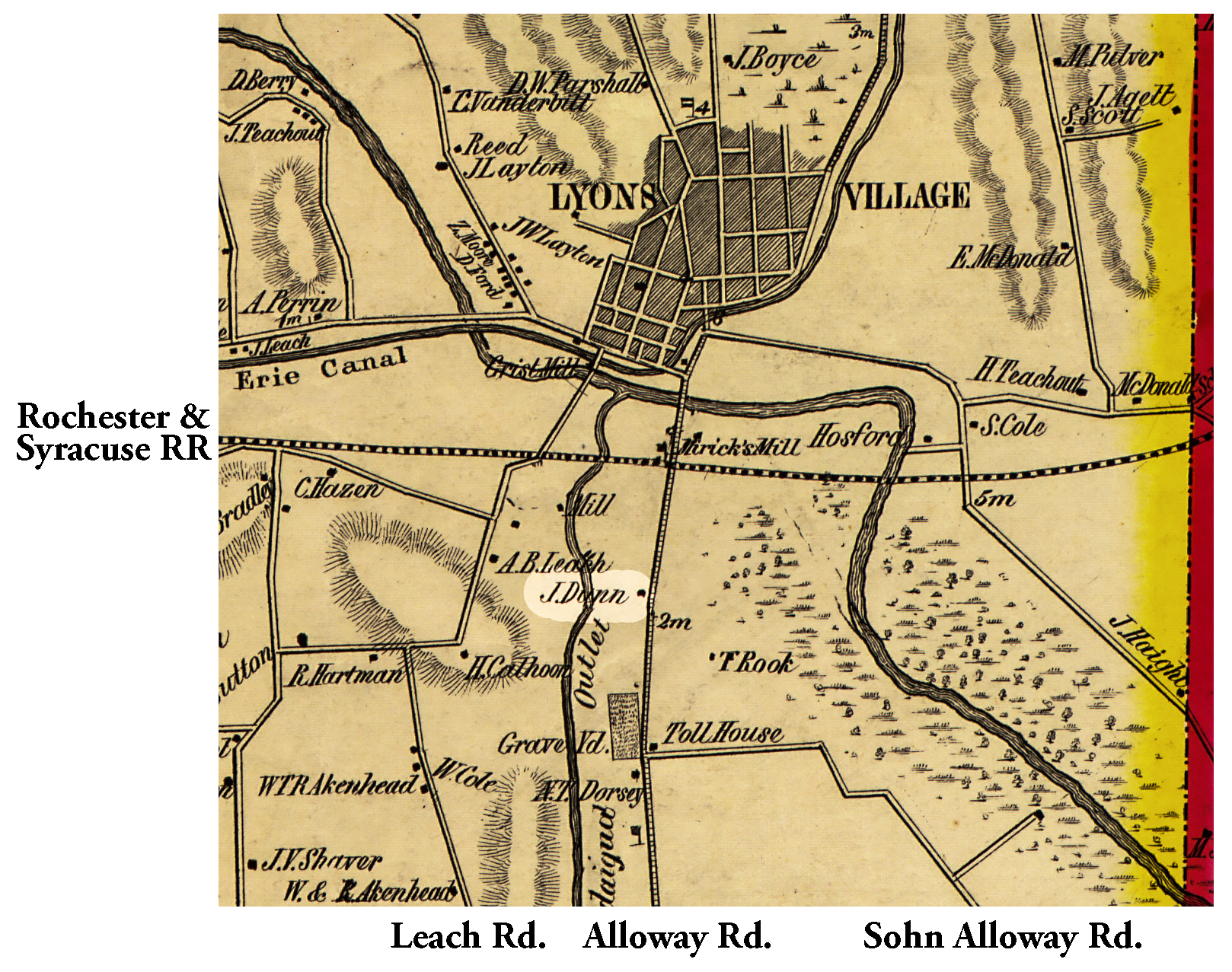 1853 Wayne County Lyo-15 Excerpt Map.jpg ¹ | 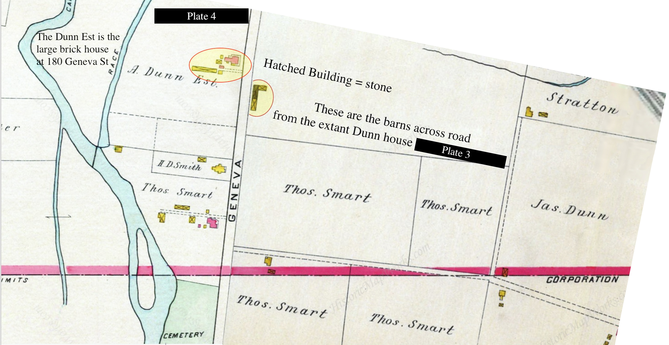 1904 Plates 3 & 4 of south boundry Lyons village.jpg ² Plates 3 and 4 have been merged in Photoshop with the assumption they were of equal magnification; therefore, location of barns may be approximate. | 
|
¹ 1853 Wayne County Lyo-15 Excerpt Map courtesy Library of Congress.
² Image courtesy Karen Crandall.
